Wildlife Habitat Mapping
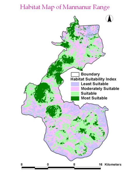
The Geomatics has been used to analyze the site suitability of wildlife
habitats by taking the several parameters like the food, water and
cover. The food and cover is derived from the RS Data and FWPs,
the slope and aspect, the settlements and roads are derived from
topomaps, the water is derived from topomaps and RS Data. With the
help of other collateral information the various layers are integrated
in GIS environment and the wildlife habitat suitability map is generated.
It has been compared with the field census and matching to ground
conditions. It is useful in analyzing the carrying capacity. The
study is done mainly for ungulates and can be applied to other wild
life.
