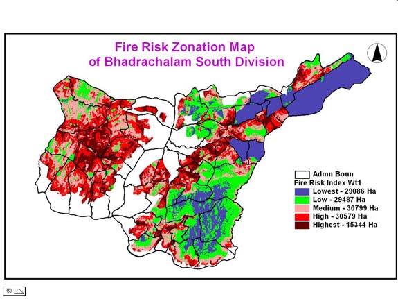
Forest Fire Risk Modeling (Fire Hazard Zonation):
With the aid of Ministry of Environment
and Forests (MoEF), Govt. of India, to analyze the effect of forest
fires in Telangana and to prepare a fire management plan, the fire hazard
zonation using Geomatics by taking various factors that are influencing
the fire into consideration viz., the fuel (forest type and density),
the topography (slope and aspect), the proximity (roads and villages),
the environmental factors (wind, temperature, rainfall etc), for
15 districts are completed. These maps are useful in delineating
most to least vulnerable areas to fire and helpful in creating
fire lines and combating the fire hazard. Hence these maps are
helpful for development of forests and wildlife. The Fire Risk
Model generated are compared with the satellite imagery and found
matching to a great extent.
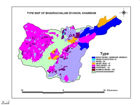
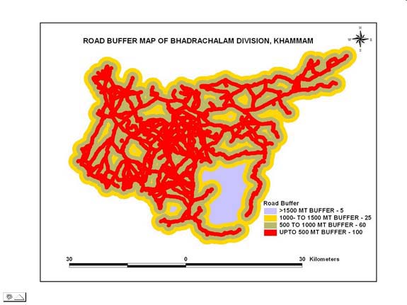
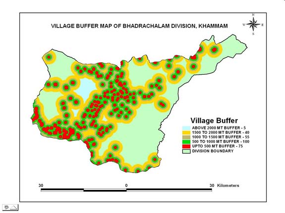
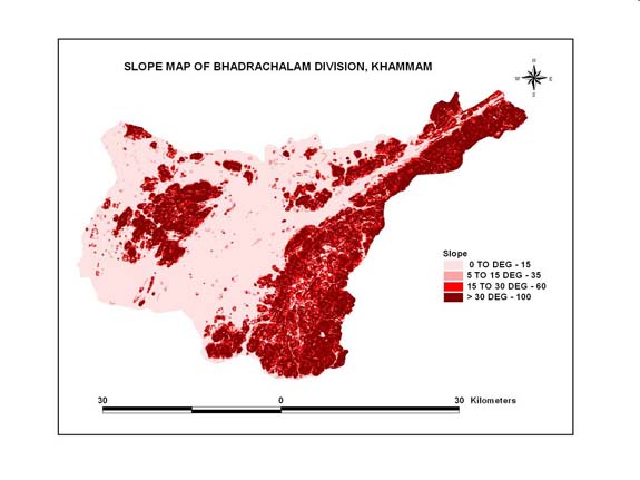
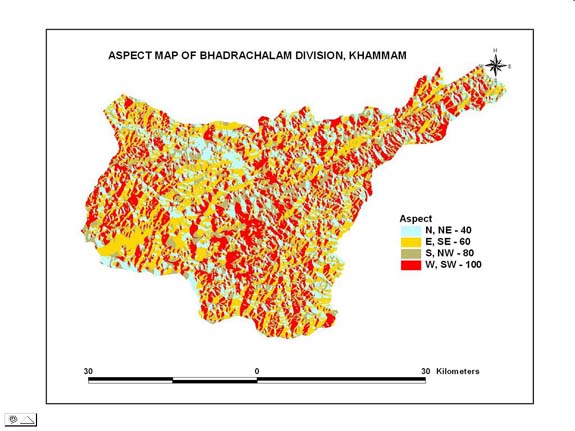
The various thematic layers like vegetation, slope, aspect, road and village are integrated for modeling the fire risk zones. Integration of these layers is done in a hierarchical scheme. Different layers have different degree of influence on fire. According to field observation, previous occurrences, vegetation characteristics and the complexity of the terrain the variables are weighted. Weightages are given to each variable as per their influence. The weight factor contributes to the degree of influence in the modeling. The layers are spatially modeled using overlay analysis to generate the fire risk model and the outputs are generalized and rescaled to suit the requirement.
FOREST DENSITY MAP
FOREST TYPE MAP
ROAD MAP
VILLAGE MAP
SLOPE MAP
ASPECT MAP
FIRE RISK ZONATION MAP

