Database Creation:
Seven themes have been created on 1:250K scales (Administrative, Management, Drainage, Roads, Rail tracks, Village & Plantation) in the initial stage. Basing on the experience gained in data base creation of 250k, Geomatics centre was started creation of data base in 50K. There are about 30 basic and derived themes have been created/generated and updated on 1:50K scale like administrative, management, JFM, vegetation type and density, slope, aspect etc. This data is distributed to divisions for verifications and use in day to day management.
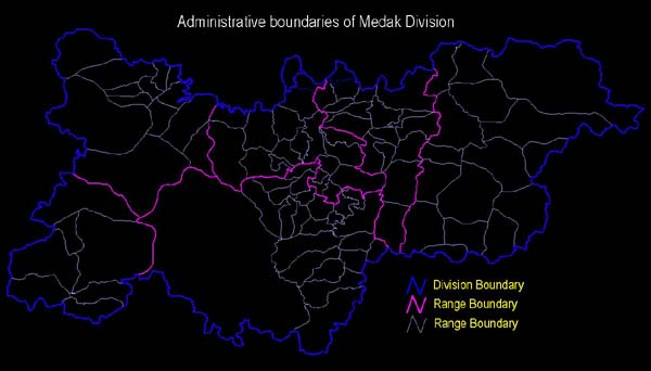
ADMINISTRATIVE (BEAT) BOUNDARIES
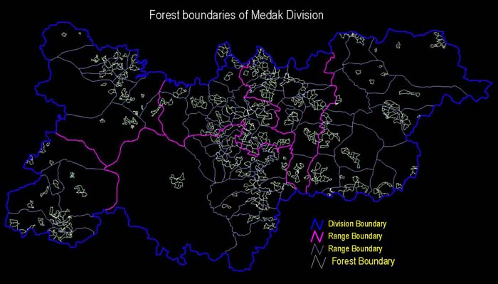
FOREST BLOCKS & COMPARTMENT
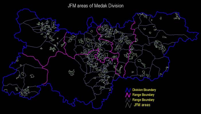
JOINT FOREST MANAGEMENT (JFM)
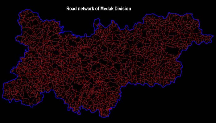
ROADS NETWORK
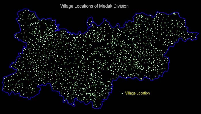
VILLAGE LOCATIONS
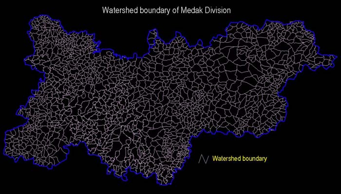
WATERSHED BOUNDARIES